Aspen Draw Trail #423
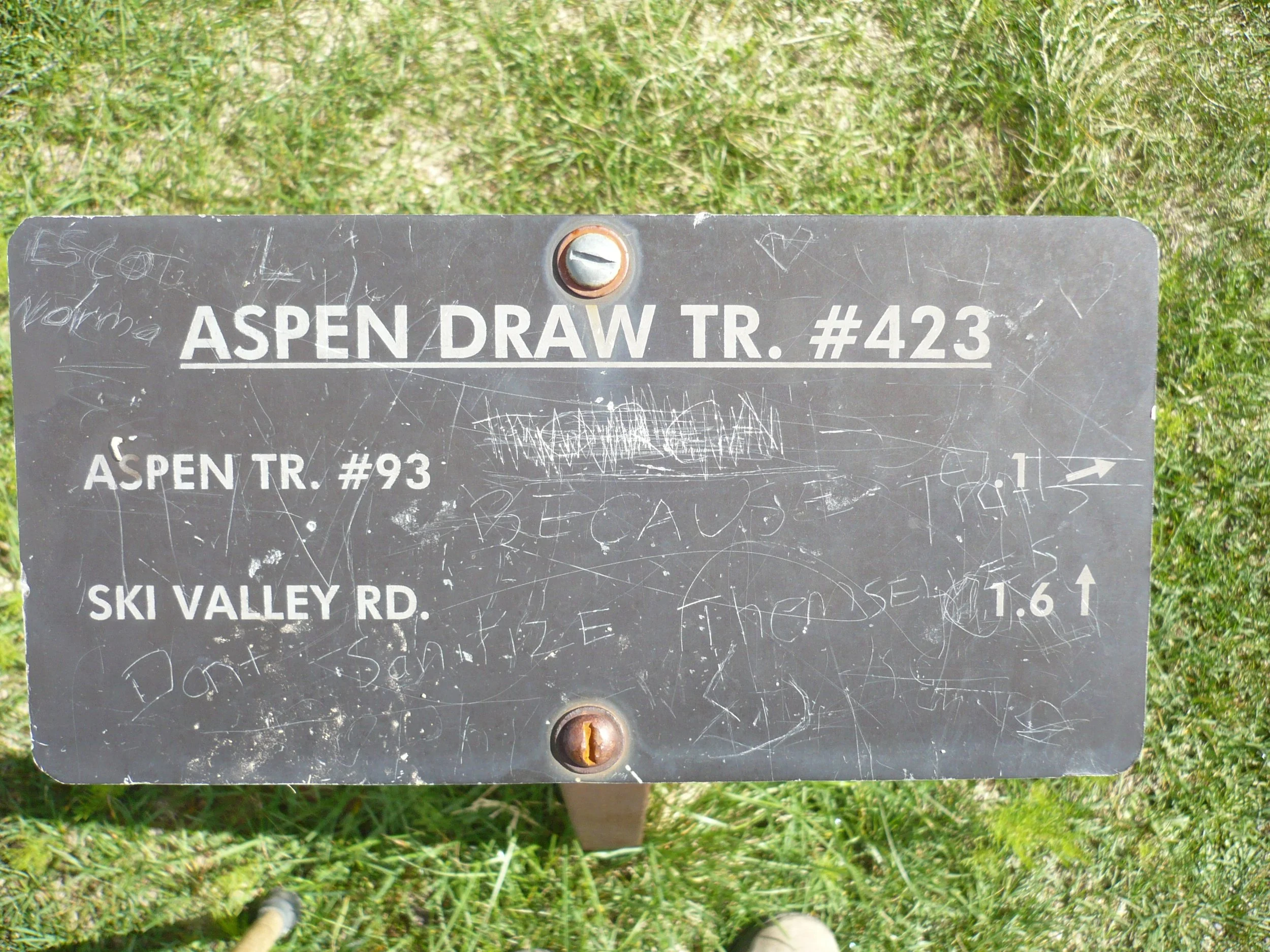
Trailhead sign at the junction at the bottom
This steep trail through old-growth forest is the coolest place you can hike in the Santa Catalinas on a hot July day. Unfortunately, fast-moving mountain bikers like it too, so be careful.
Difficulty: In 1.6 miles, the trail drops from 9,050 feet elevation at the top to 8,480 feet at the bottom of a ski lift. Unless you have a shuttle, you will need to climb 570 feet to get back to your car. The lower half of the trail is moderate, but the top half has steep sections.
Current condition: (9/17/23) The trail is badly eroded in many places, causing rocks and roots to stick up out of the tread several inches, and sometimes even one foot! There are no down logs, and the vegetation is cut back on both sides.
Connecting trails: At the bottom of the trail is a T-junction (see first photo) with a trail that runs west up the highway embankment to the Ski Run and Iron Door restaurant parking lots, or east to Summerhaven. The latter is variously called Turkey Run or (confusingly) Aspen Draw Trail.
From the top end of the trail, you can walk several hundred yards east to the start of the Aspen Trail. Alternatively, you can walk about 1⁄4 mile west along roads to the Mt. Lemmon Trail trailhead.
Directions: From the Catalina Highway, turn right onto Ski Run Road. To hike up the trail, park in the Iron Door Restaurant parking lot, cross the highway, walk east on the south side of the guardrail, and follow the path until you come to the signed junction depicted in the first photo.
Turn right at this junction to climb to the top.
If you want to hike down the trail, continue driving on Ski Run Road to the top of the mountain. Park next to rusting ski lift equipment on your left. Walk east past the ski lift toward a little building on your left, where you will find the following trailhead sign:
Trailhead sign at the top
Aspen Draw Trail in Pictures…
Gooseberries near the top!
Giant old Douglas firs
A mossy cliff
The lower trail among conifers
Hazards: roots, rocks, steep sections
Hazards: standing aside while cyclists whiz by, not yielding to hikers as they are supposed to

