Incinerator Ridge Trail #18A
Sign at upper end of trail by Incinerator Ridge Road
Sign at lower end of trail at San Pedro Vista
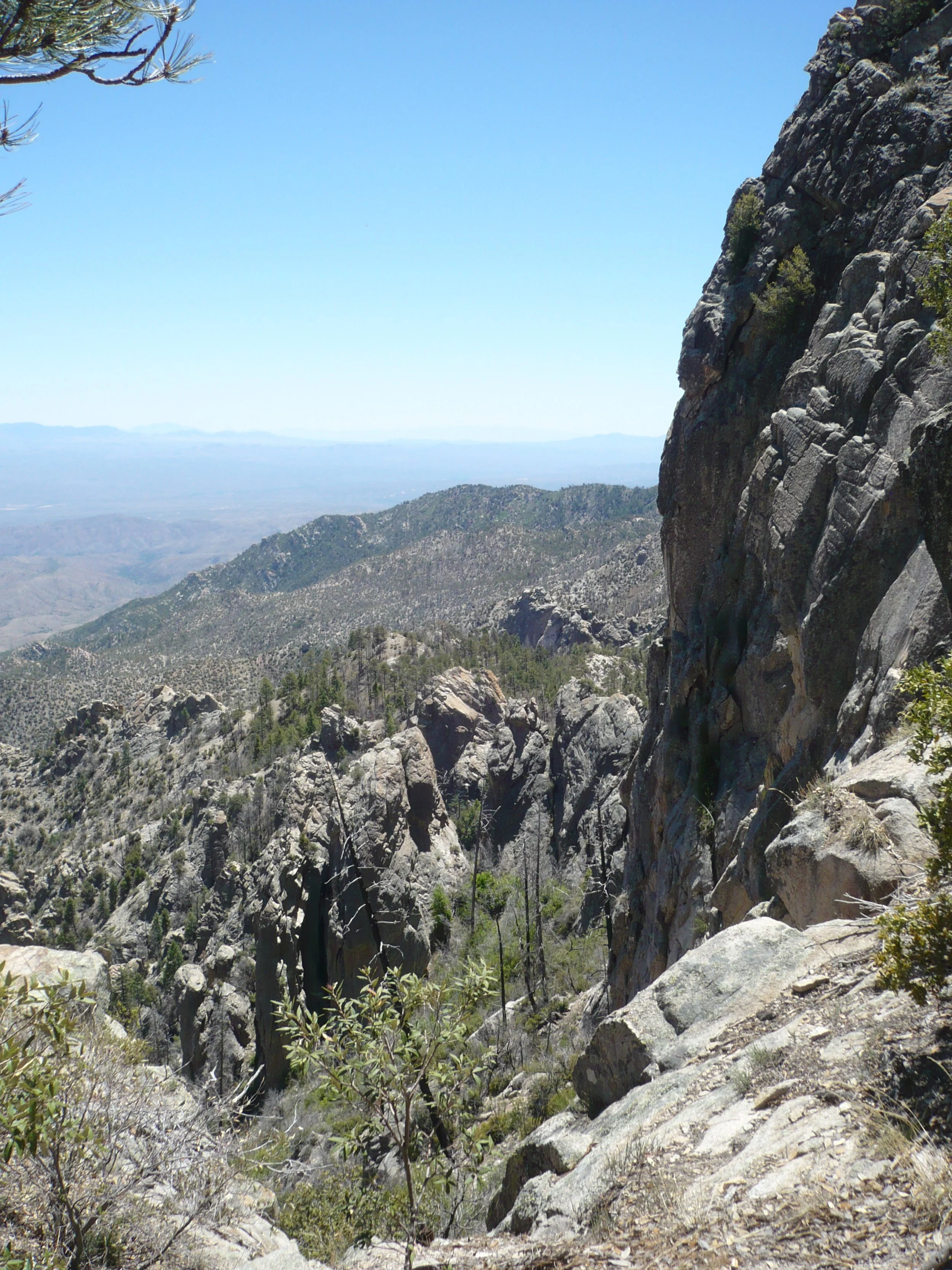
Part of the Lemmon Drop, this trail winds among spectacular cliffs, mostly under shady pines.
Difficulty: The upper part of this trail -- and a fairly long middle part -- are mellow. The rest is steep and rocky. You’ll gain or lose about 900 feet of elevation in 1.5 miles, depending on which direction you hike.
Current Condition (5/19/24): Most of the steep sections are on bedrock. Here and there, loose rocks on top of the bedrock create a slippery surface. Some of the constructed steps are too tall.
Connecting Trails: You can connect to Green Mountain Trail #21 at the southeast (lower) end, to Kellogg Mountain Trail #45 at the northwest (upper) end, and to Knagge Trail #18 (what’s left of it) not far from the northwest trailhead.
Directions: To hike up the trail, take the Catalina Highway to San Pedro Vista. To hike down the trail, take the Catalina Highway to Incinerator Ridge Road and follow it uphill about one-half mile to the trailhead.
There is no sign for the Incinerator Ridge Trail at the San Pedro Vista pull-out. There is only a sign saying “Heavy mountain bike traffic” (see photo).
Hazards: Cyclists love to bomb down this trail. They were polite when we last hiked it, pulling aside to let us by. You need to be watchful where the trail is narrow and steep, as cyclists may not be able to pull over.
Incinerator Ridge Trail in pictures
Trail follows ridgetop and then goes between the two big rocks (Barnum on the right and what we call “Bailey” on the left)
Trail to the two big rocks is steep and rocky
People on top of “Bailey”
The trail gets mellower northeast of the two big rocks. A large arrow on the forest floor marks a climber’s route from the highway below to clifftops on the east side of the ridge.
Barnum cliff is really tall and sheer!
Arrow shows route straight down to highway
After crossing a little “valley” between Barnum Rock and Incinerator Peak, the trail turns left and climbs to Leopold Point. Heavy bike traffic and rain have dislodged some of the steps here.
Eroded steps going up Leopold Point
Mellow trail on top of Incinerator Ridge
Campsite on Incinerator Ridge between the upper trailhead and the Knagge Trail junction
