There is no trailhead sign for Kellogg Mountain Trail at this parking lot, but on the opposite side of the lot, the trailhead sign for Incinerator Ridge Trail points back to Kellogg Mountain Trail.
Kellogg Mountain Trail #45
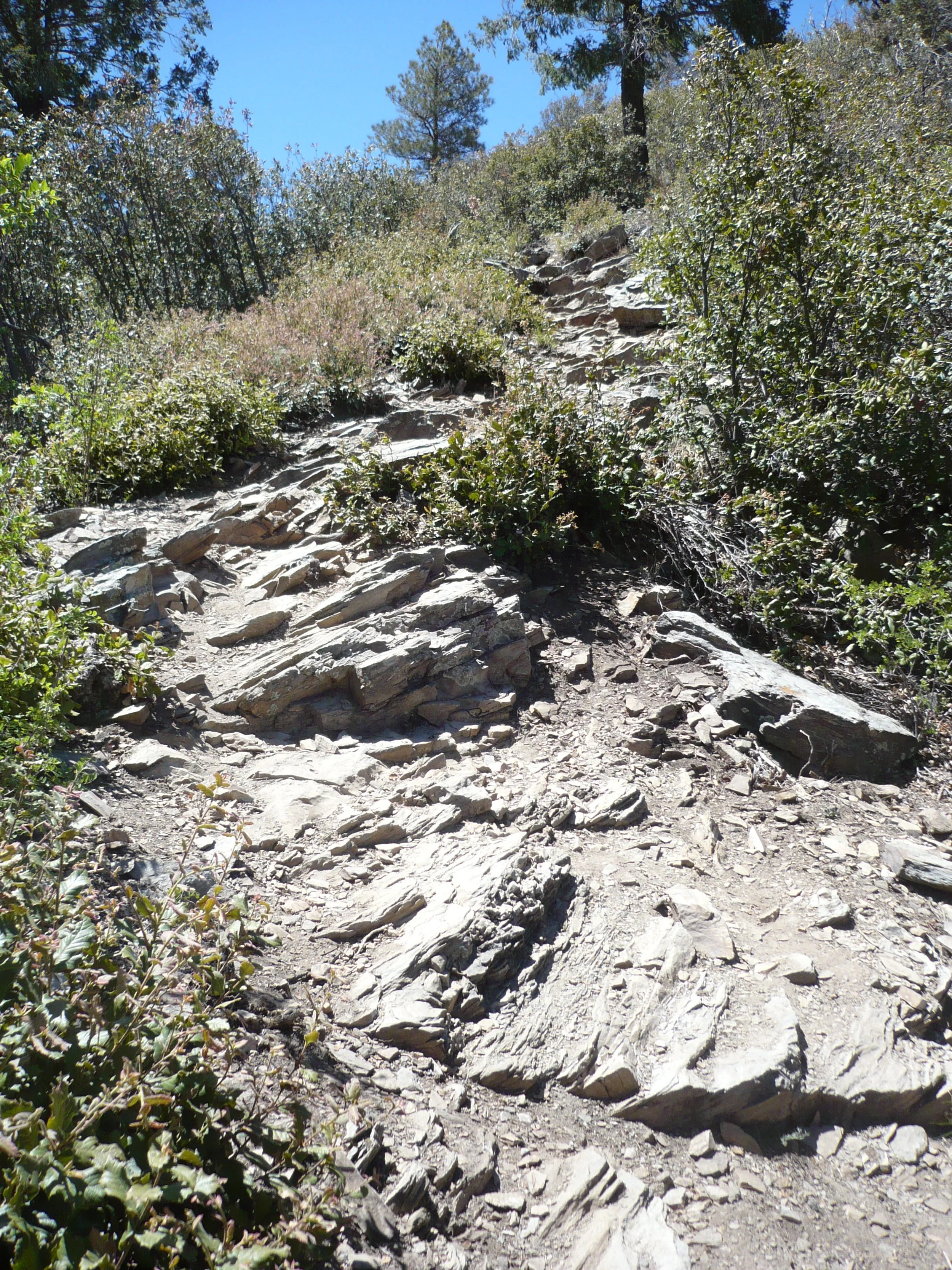
A “mellow,” one-half-mile-long trail -- pretty easy, except for the switchbacks near the southeast end.
Current Condition (May 2024): The trail needs to be brushed out, but it is easy to follow.
Connecting Trails: At the northwest end, connect to Bigelow Trail #520 and Butterfly Trail #16. At the southeast end, connect to Incinerator Ridge Trail #18A
Directions: From the Catalina Highway, turn right on Incinerator Ridge Road #3. The road has been recently graded. The unsigned trail leaves from the west end of the parking lot between two large rocks at the end of a parking bay. The trail skirts a camping area on the left and goes straight behind the hiker in the picture opposite.
Trail starts between these two rocks
Trail goes to the right of this sign
Kellogg Mountain Trail in Pictures…
The start of the trail is an idyllic wooded path
Soon you come to steep, rocky switchbacks
The trail levels off again as it goes around Kellogg Mountain
The trail ends at Bigelow Saddle. You know you’re getting close when you see the radio towers on Mt. Bigelow
The trailhead sign at Bigelow Saddle doesn’t mention Kellogg Mountain Trail. (The name “Kellogg Mountain Trail” and an arrow pointing to the right should be on this sign.) Nonetheless, Kellogg Mountain Trail is popular with hikers and cyclists alike.


