Mint Springs Trail
This high-elevation, fairly level trail has two aspects: dense forest on its northern half and alpine meadows on its southern half.
Difficulty: The elevation change is only 180 feet - - from 8080 feet at the parking lot to 7920 feet at Marshall Saddle. The southern half of this 1.6-mile-long trail crosses eight washes, each of which involves a mostly steep descent and ascent.
Current condition: (9/29/23) The tread is very good, except when descending to or exiting some of the side washes. The vegetation has been cut back attractively.
Connecting trails: Where it ends at Marshall Saddle, the Mint Springs Trail connects with the Marshall Gulch Trail, the Wilderness of Rocks Trail, and the Aspen Trail.
Restrictions: No bikes or motorized vehicles. Dogs must be on leash.
Directions: Take the Santa Catalina Highway to Summerhaven. Drive through the commercial district and then turn right on Carter Canyon Road. Drive up it to the end, where there is a large, free parking area.
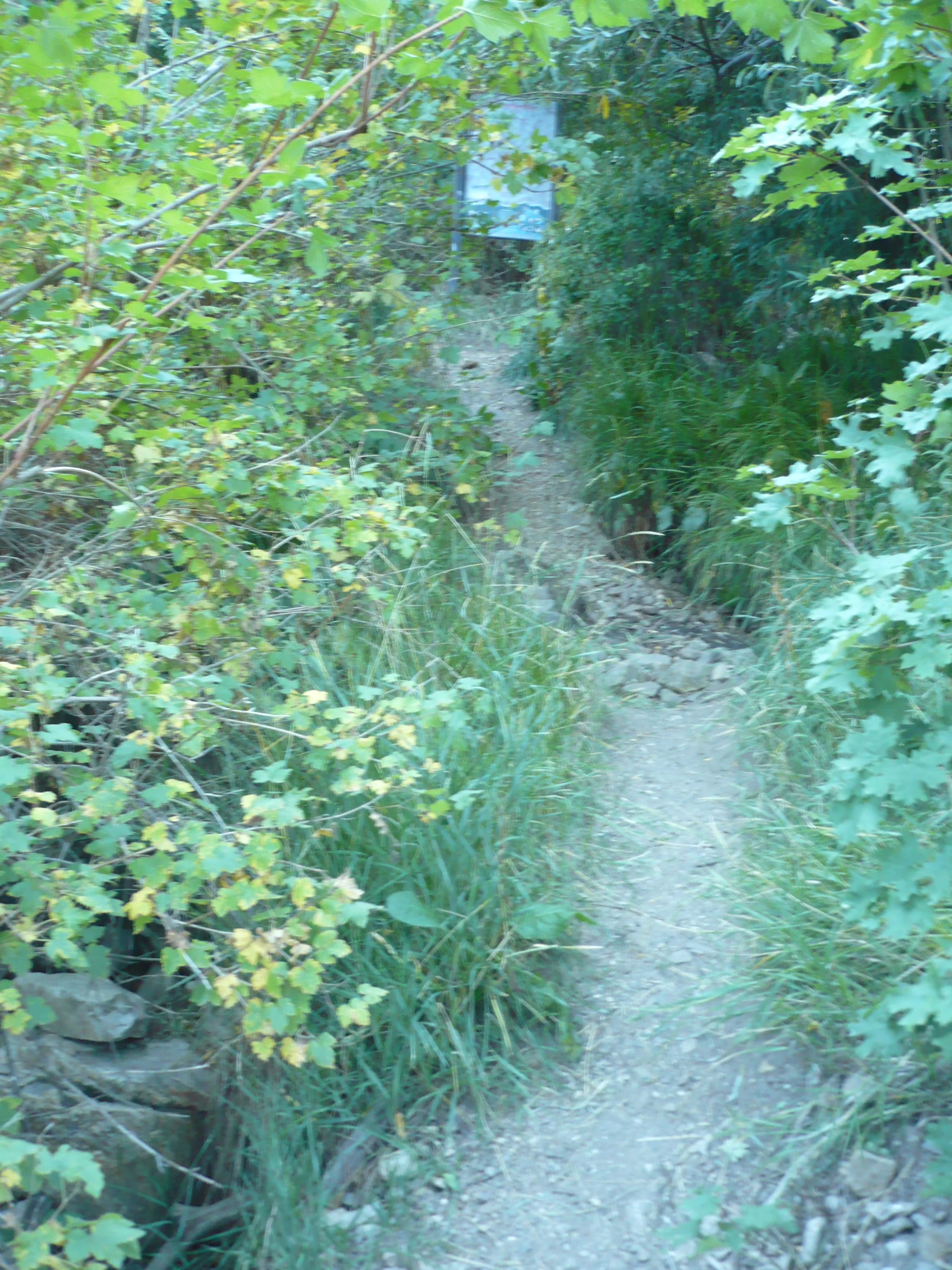
The hardest part of hiking the Mint Springs Trail is finding the trailhead! From the parking lot, look up the canyon along a paved driveway. About fifty feet from the parking area, you will see a carsonite post on the left, with an arrow pointing left toward the trail. You can start there, but it is easier to start about 15 feet closer to the parking area. (See the pictures.)
Trailhead sign is hiding about 20 feet up the trail
Look for a carsonite stake next to the paved driveway about 50 feet up from the large parking area
Trail starts between two aspen trees about 15 feet before carsonite stake
Mint Springs Trail in Pictures…
Trail from road to kiosk. Trail turns left at kiosk; there you can see the trailhead sign.
Trail winds through a beautiful green forest
Trail becomes more open and lined with flowers
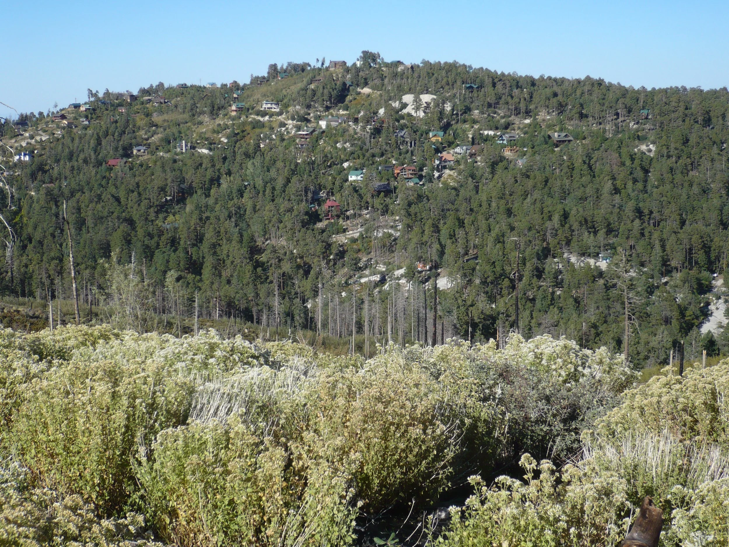
Soon you can see the homes on Fern Ridge
When trail turns right, you look down at a large flat area where Mint Spring is located
Mint Spring (note the water) can be reached via an unofficial trail that branches to the left. Nearby is a wildlife camera.
Looking south, you can see the three summits of Marshall Peak.
Looking back at the ridge above the spring. The white rocks are in one of the side washes crossed by the trail.
Mint Springs Trail ends at Marshall Saddle. This sign points you back to Carter Canyon.

