Oracle Ridge Trail #1
The Oracle Ridge Trail is Mt. Lemmon’s first trail. It follows the route that Sara Plummer and John Lemmon used to reach the top of Mt. Lemmon. It offers views of San Pedro Valley to the east, the rugged Reef of Rocks to the west, and Biosphere II to the northwest.
Difficulty: Most of the trail is moderately difficult, but there are some long, steep sections and a few tall steps.
Current Condition: (5/26/24) Loose rocks and slippery gravel are ubiquitous. The portion of the trail in the National Forest is mostly brushed out, but parts of the mile on a private inholding south of Dan Saddle are overgrown and need re-benching.
Connecting Trails: Oracle Ridge Trail #1 continues north from Dan Saddle to the town of Oracle. East Fork Trail #401 connects Dan Saddle to Catalina Camp, where you can make a loop by taking Red Ridge Trail #2 back up the mountain. If you do the loop without two vehicles, you will have to walk about one mile along the Catalina Highway and the Oracle Control Road back to the Oracle Ridge trailhead.
Directions to the trailhead: From the Catalina Highway, turn right (north) onto the Control Road. Drive past a fire station, over a cattle guard, and down a sharp incline. Park in the open area on the left side of the road. Do not cross the second cattle guard.
1 - Not long after you reach the mining road, you can see many other roads crisscrossing Marble Peak.
Trail approaches mining road
2 - The trail leaves the mining road twice – running parallel to the road on the west. You can stay on the road or hike on the trail. The trail is prettier.
Mining roads on Marble Peak
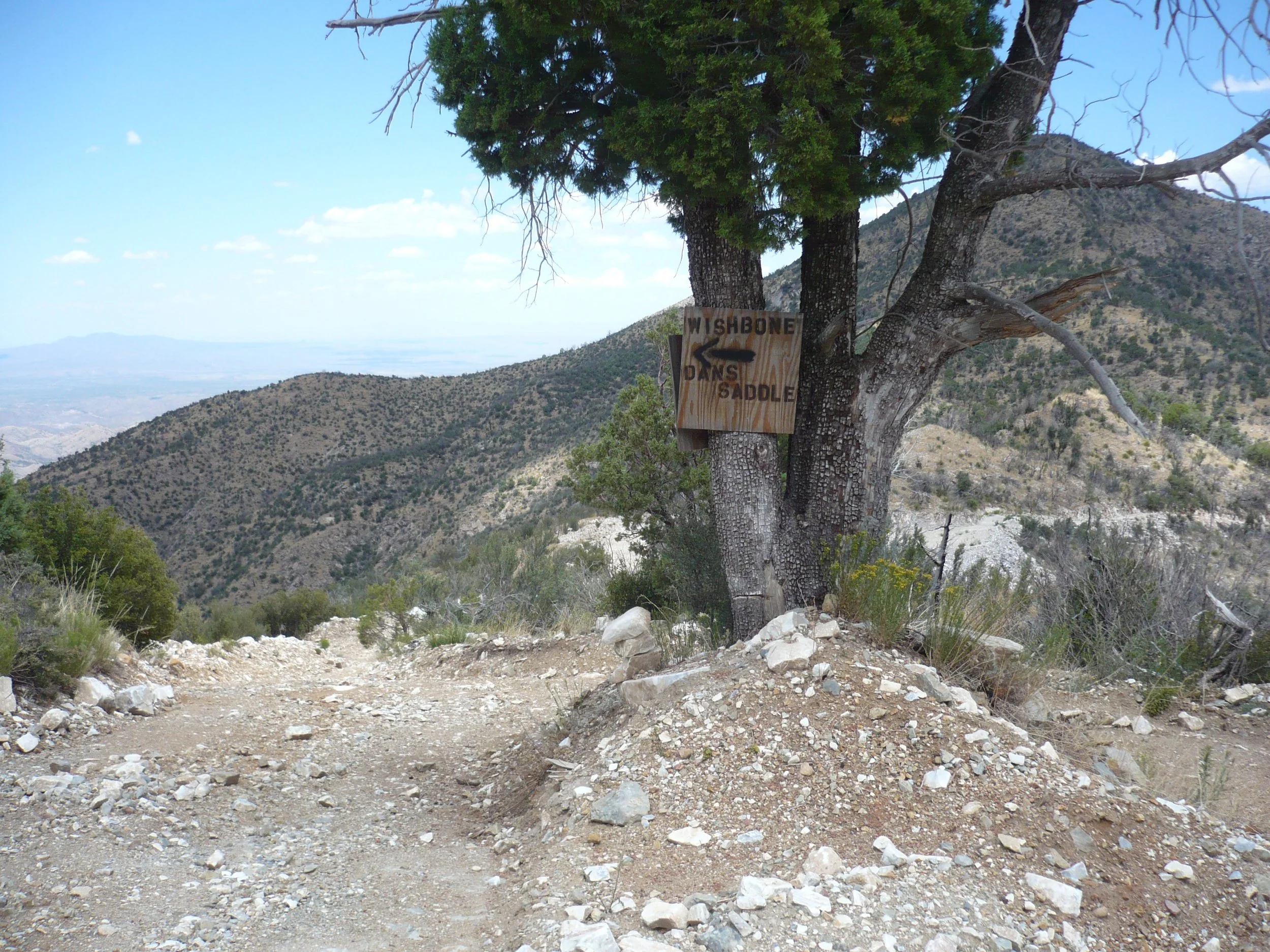
3 - The first section of trail parallel to the road is south of a road junction that old-timers called the “Wishbone.” The second section of trail parallel to the road is north of the “Wishbone.”
Wishbone junction with sign for Dan Saddle
4 - The second (northern) section of trail parallel to the road takes some determination to follow. It is overgrown and even hard to get up onto. The road has been widened so much that it ate the southern entrance to the trail!
New southern entrance to northern section of trail parallel to road is marked by a temporary orange post [top left]. A hiker can be seen standing where the old entrance used to be [top right], but is now on top of a ten-foot-high cliff.
Oracle Ridge Trail in Pictures…
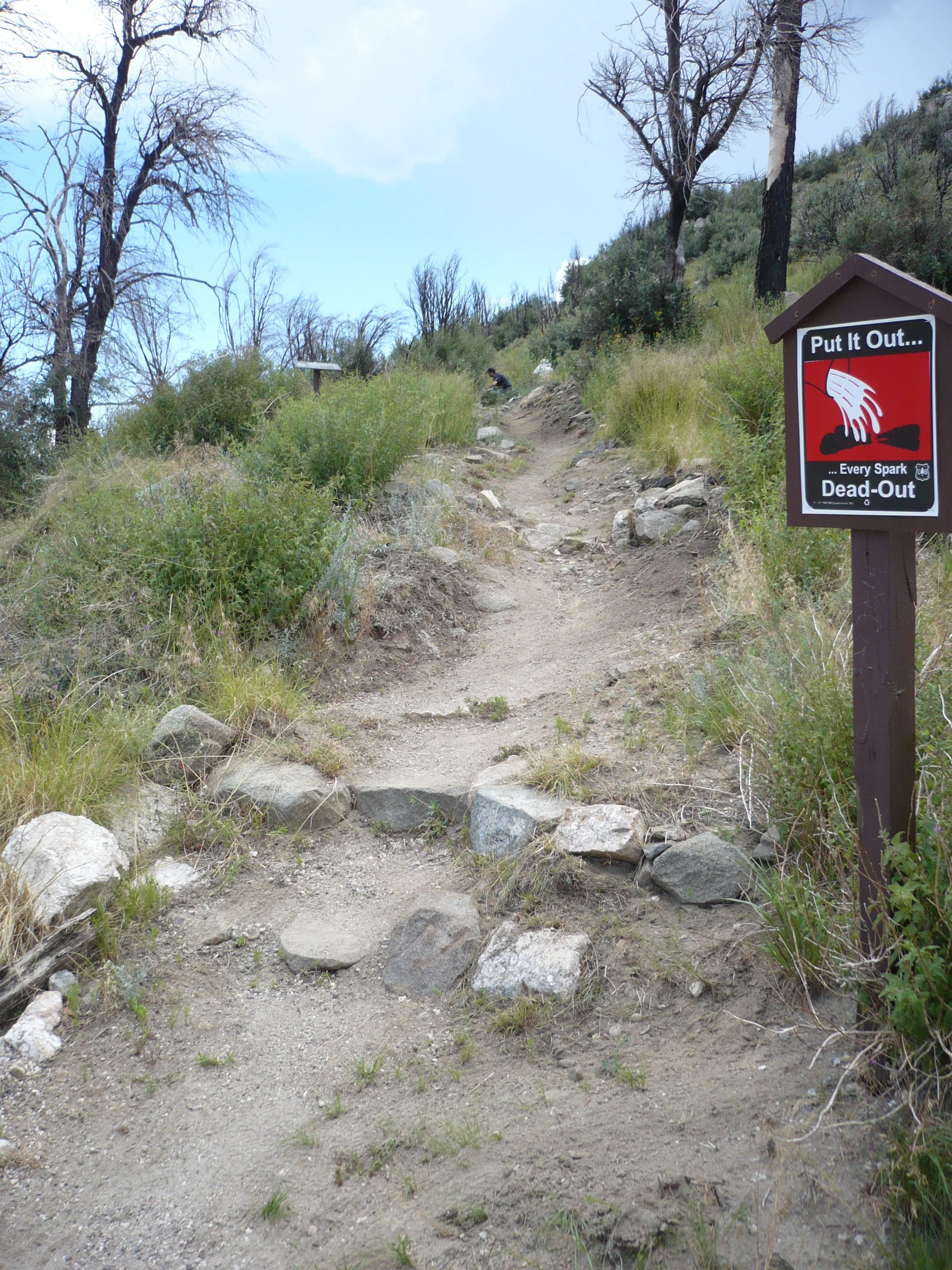
Start of trail
View of San Pedro Valley (top), Marble Peak mining roads (top left), Oracle Control Road (center right)
A great place for flowers!
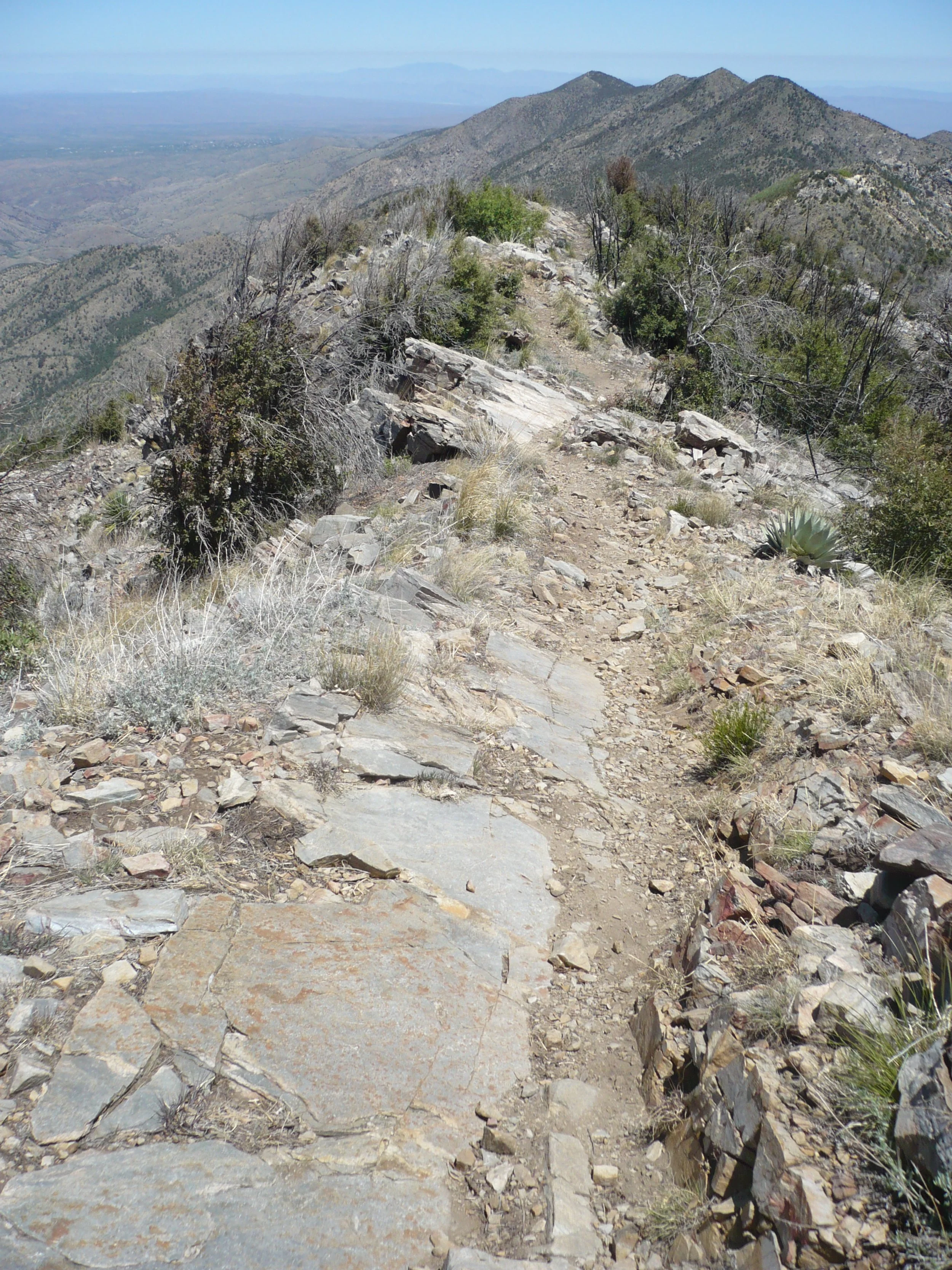
Trail along ridgetop
The green tunnel on inholding land
Looking back at cliff that prevents re-routing the trail down around the inholding
Afternoon light on Red Ridge, with Reef of Rocks and Samaniego Peak in the background


