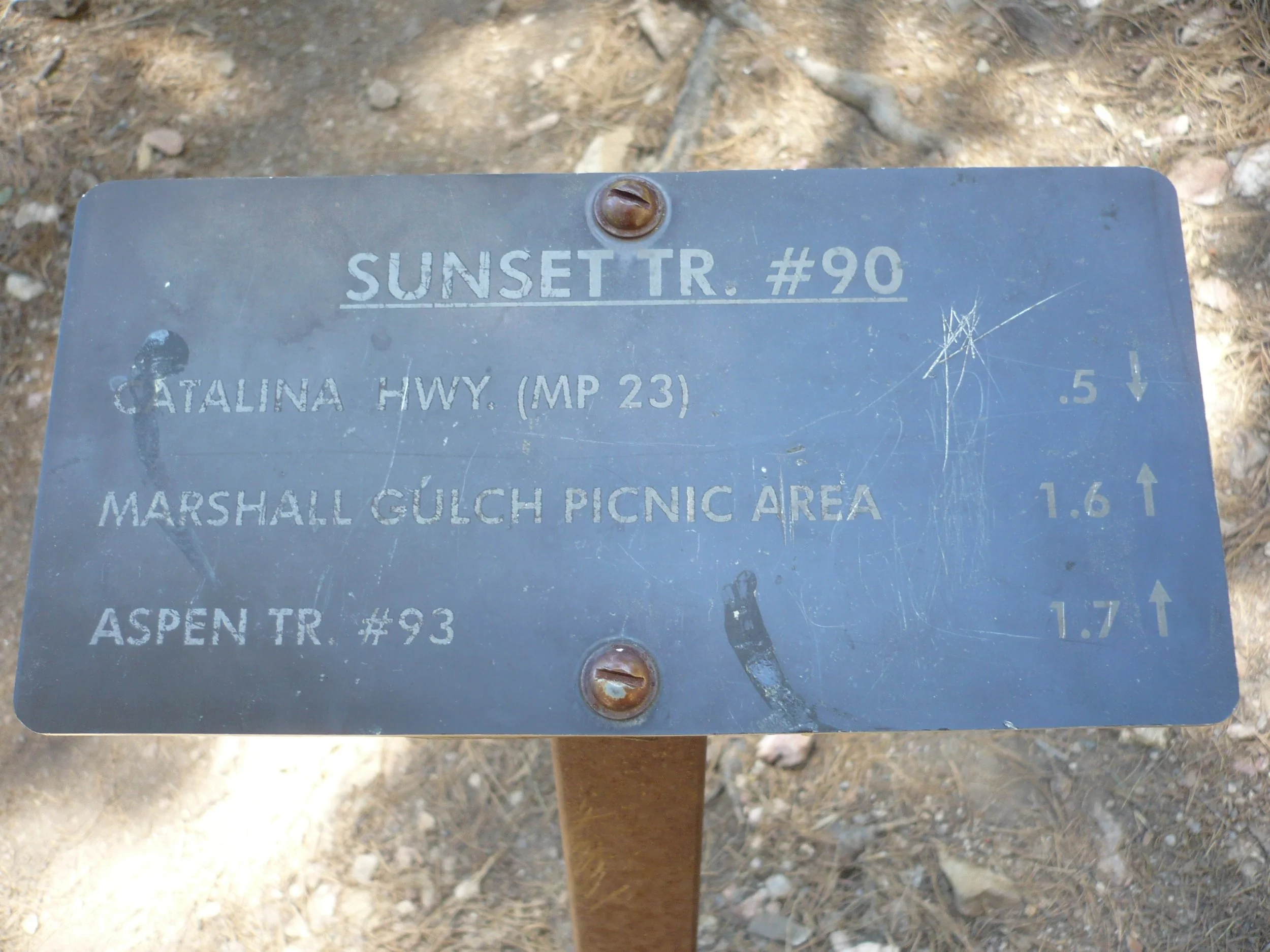
Sunset Trail #90
This inviting trail offers stunning views of Upper Sabino Canyon. It’s easygoing at the top, but requires rock scrambling as it descends into the canyon.
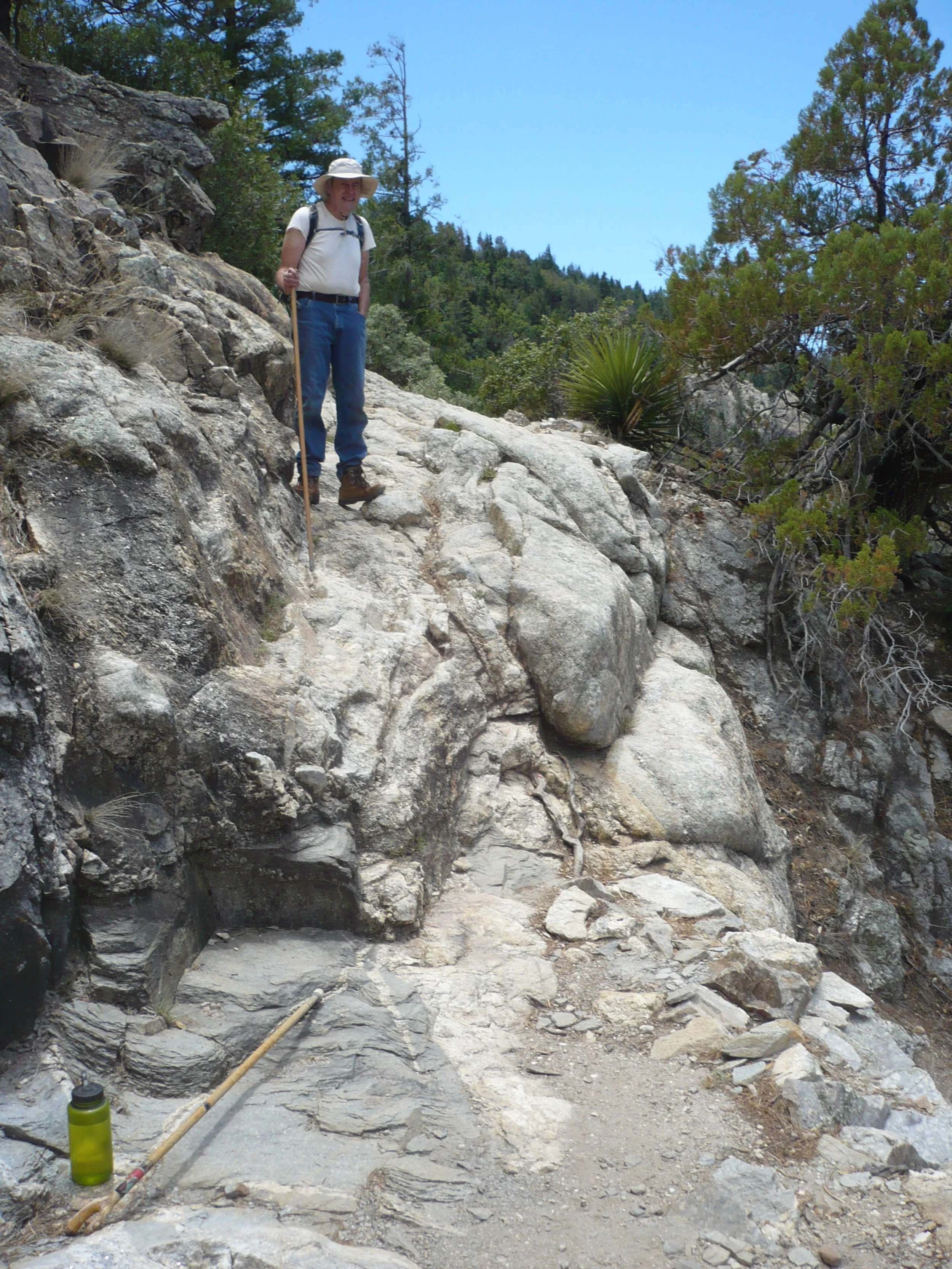
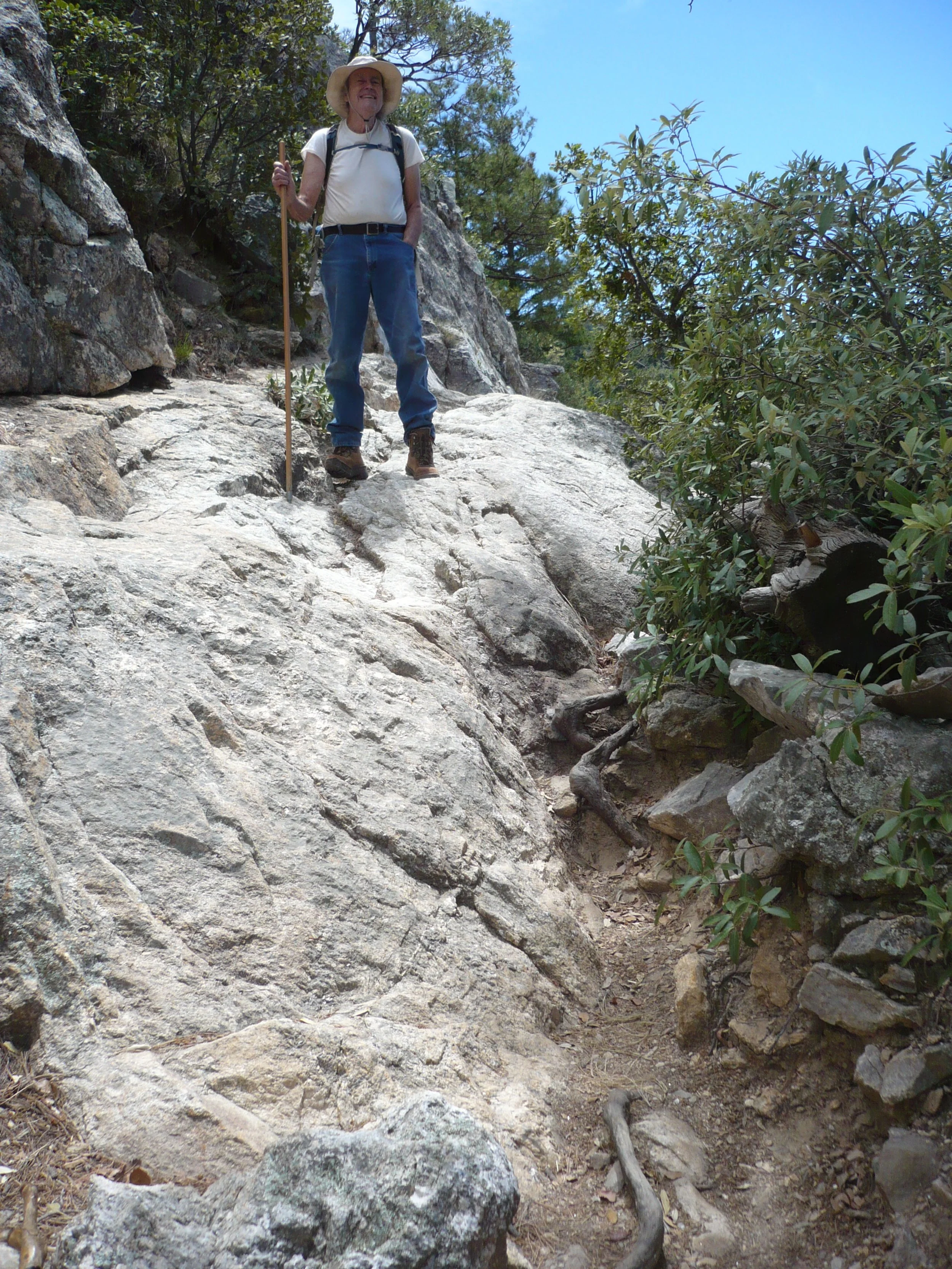
Difficulty: The Sunset Trail drops 500 feet from its parking lot by the Santa Catalina Highway to the parking lot at Marshall Gulch (about two miles). All of it is above 7,000 feet, so some acclimatization is helpful. The most difficult section involves scrambling over steeply sloping bedrock where the trail drops into Sabino Canyon.
Current Condition: (August 27, 2023) Friends of the Santa Catalina Trails worked on the first one-half mile of this trail this summer and made the tread very smooth. When the trail steepens after one-half mile, there are loose and embedded rocks in the tread. TORCA worked on the bottom part of the trail. The vegetation has been brushed out from top to bottom.”
Connecting Trails and Loops: The upper Sunset Trail parking area is across the highway from the western trailhead for the Butterfly Trail. At the Marshall Gulch parking lot, you can hook up with the Marshall Gulch Trail and/or the lower Aspen Trail.
Restrictions: The only official restrictions on this trail are no motorized vehicles, and dogs must be on leash.
Hazards: Downhill mountain bikers have adopted this trail. Although they are required to yield to hikers, it is hard for them to do so on steep sections.
Directions and Parking: To hike the Sunset Trail starting at the top, drive up the Santa Catalina Highway to Milepost __. Watch for the Butterfly Trailhead sign on the right. Turn left immediately after it into the Sunset Trail parking lot. There is no fee for parking.
If you want to start at the bottom of the trail, drive through Summerhaven to the Marshall Gulch parking lot at the end of the road. There is an $8 fee for parking there.
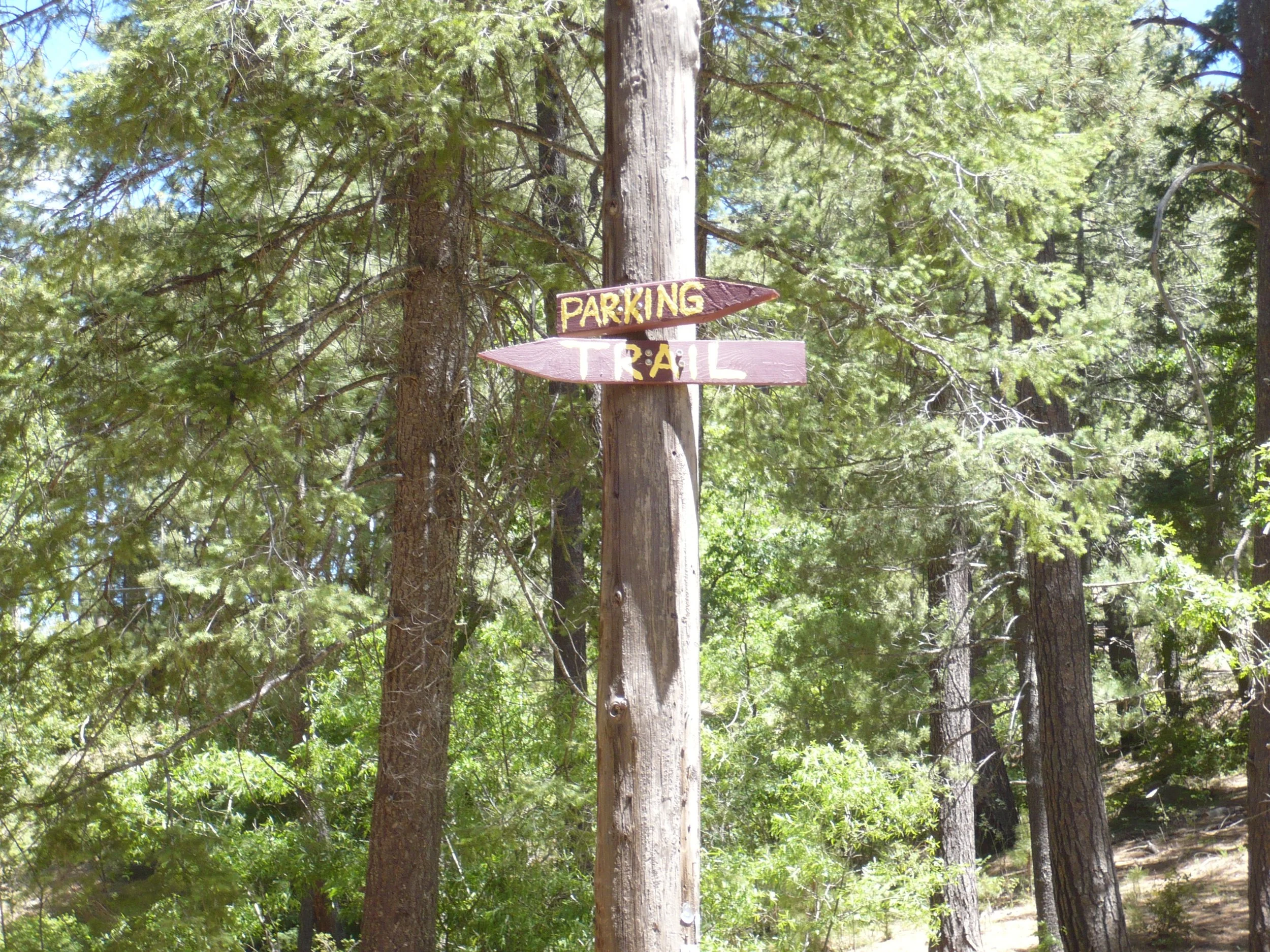
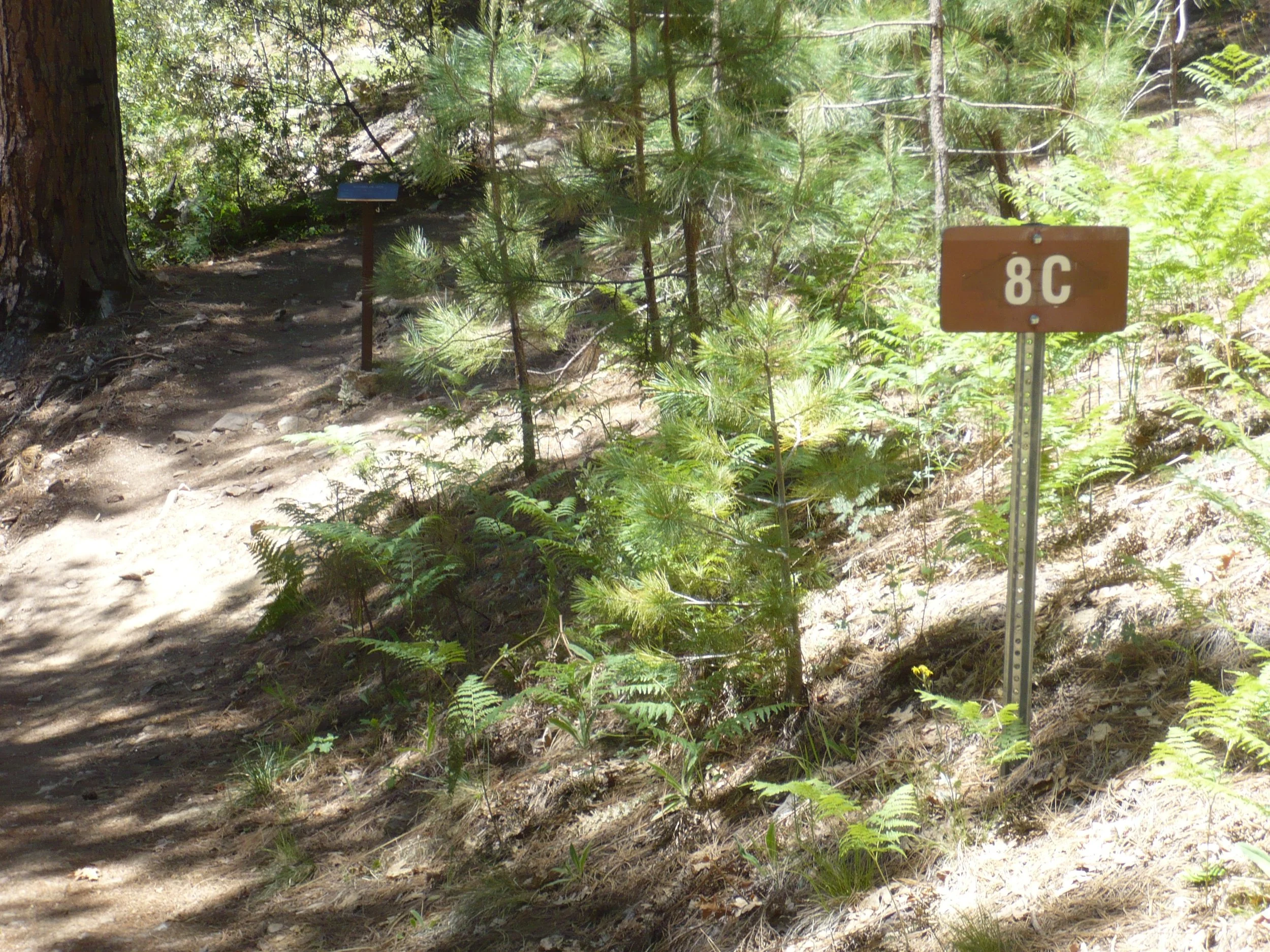
Finding the Trailhead: At the upper trailhead, walk to the Forest Service kiosk that has a map showing the Sunset Trail. Walk down the road immediately behind the kiosk; do not go up the road to the right. After passing several cabins, the road forks. Stay left. You will see a homemade sign pointing back to the parking lot and left to the trail. Then you’ll see a sign saying “8C.” Turn left and walk past the “8C” sign; the Sunset trailhead sign is not far and straight ahead.
If you want to hike up the Sunset Trail from the Marshall Gulch parking lot, find your way down Sabino Creek as best you can. Currently there is no Sunset trailhead sign at this end of the trail. Stay on the west side of the creek until you pass a large outcrop on the east side; then cross the creek and clamber up and along the bedrock until the trail becomes obvious.
The Trail in Pictures…
At the upper trailhead, follow the road going straight back behind the kiosk, not the road going right
At this sign, leave the road and turn left
Follow the trail next to the “8C” sign; the trailhead sign is in the shade a few feet farther on
The trail passes through a lovely stand of oaks
Looking down Sabino Canyon with the Tucson basin in the background
Rounding the corner into Sabino Canyon
Soon the trail gets a little dicey
Another dicey spot – we lost the trail here going back up
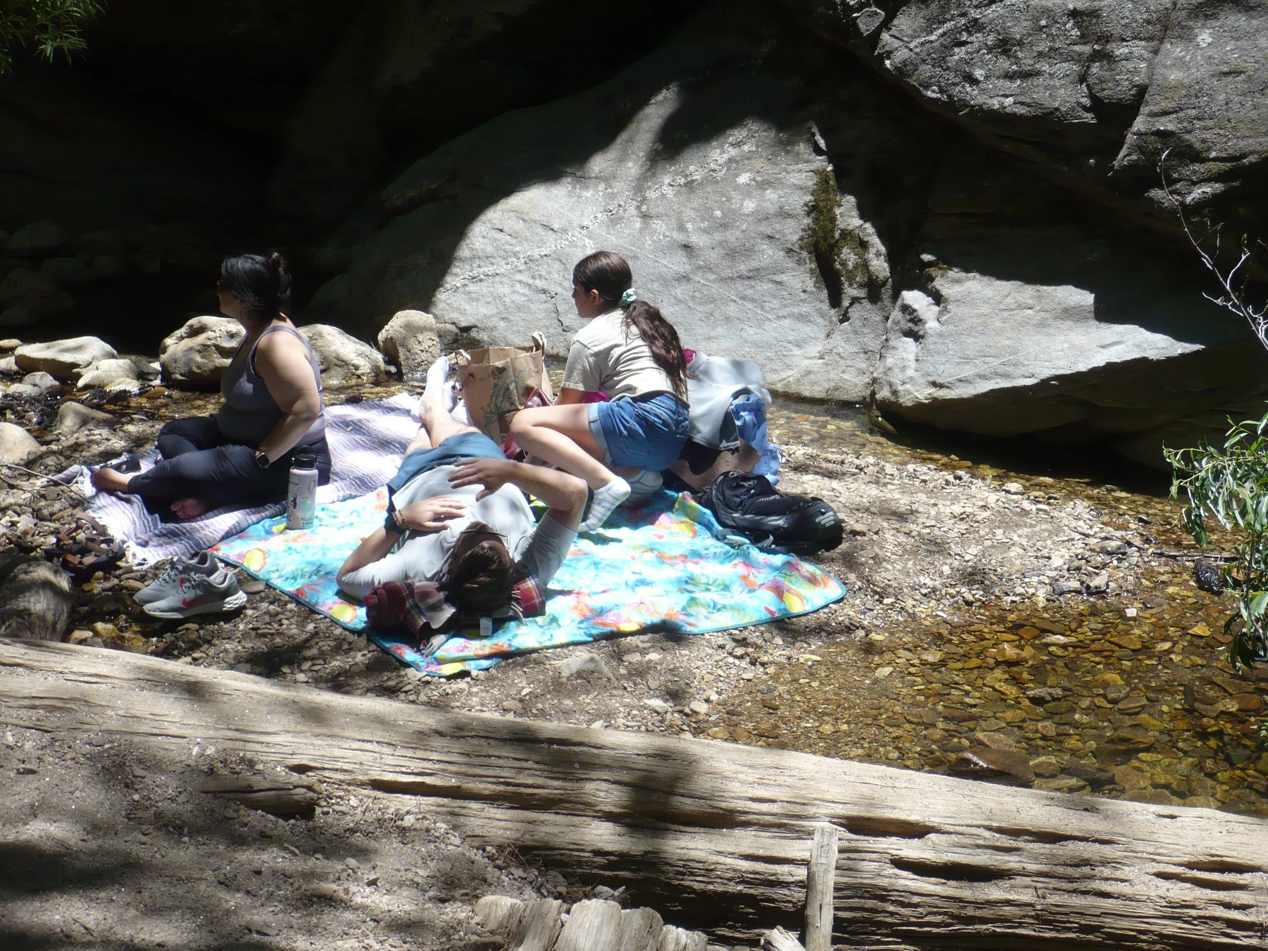
Once you get to Sabino Creek, you can relax
Split rock above the creek; on our way back, people were climbing inside the split
