Upper Mt. Lemmon Trail
Starting at the top of the mountain and following a ridge with fine views, this is an understandably popular trail.
Difficulty: The trail is a dirt road with both steep and relatively flat sections. The high elevation can be tiring if you aren’t acclimated. The trail drops from 9,171 to 8,560 feet in 1.5 miles. And then you must climb back up!
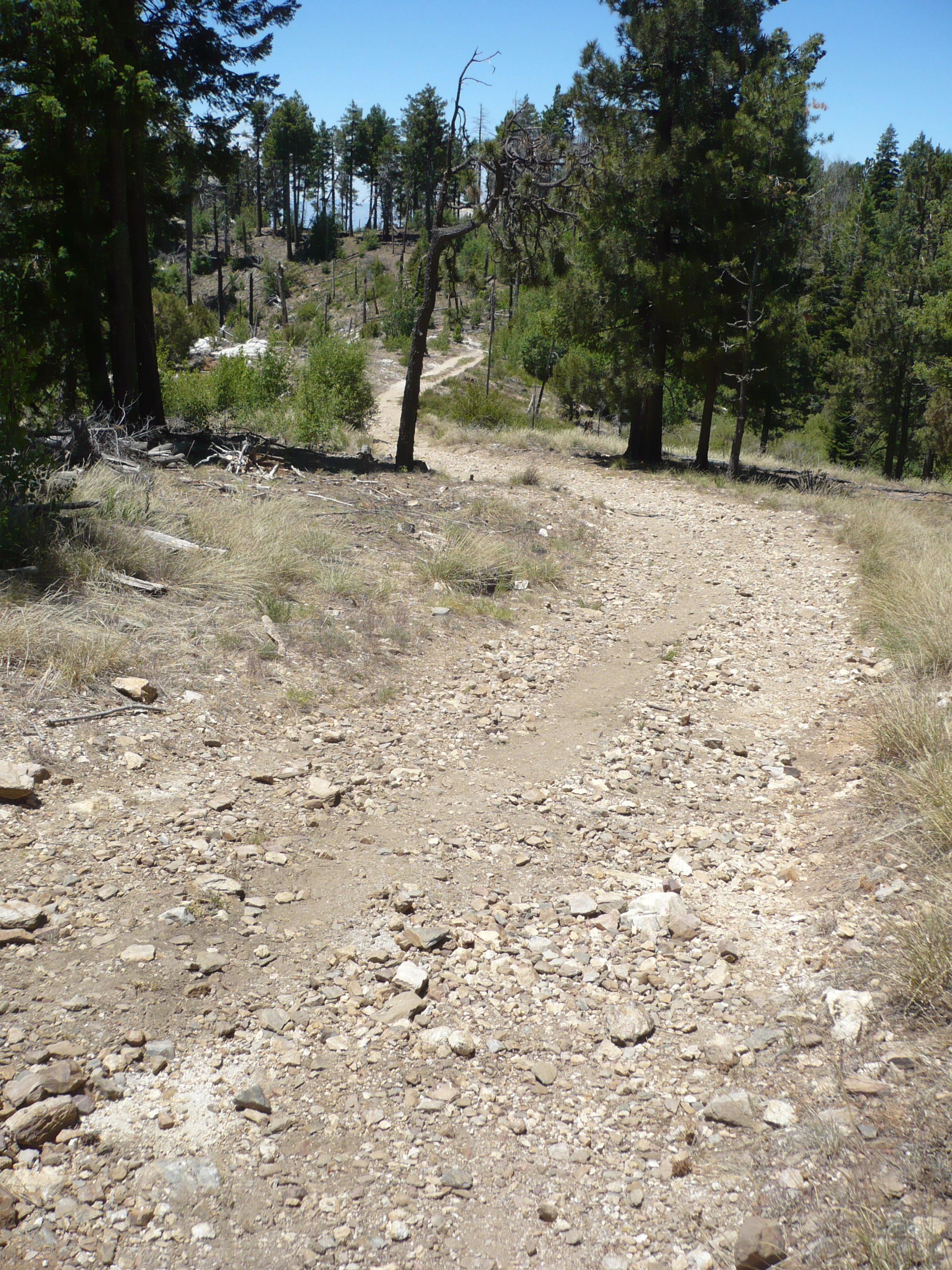
Current condition: The Mt. Lemmon Trail is never overgrown with vegetation. However, it is usually covered with loose rocks – perhaps because vehicles occasionally use it. In June 2023, the rocks seemed worse than ever.
Connecting Trails and Loops: The Meadow Trail parallels the upper Mt. Lemmon Trail to make a short loop. About half a mile from the Mt. Lemmon trailhead, you can turn left onto the Lemmon Rock Lookout Trail, which drops steeply into the Wilderness of Rocks. After 1.5 miles on the Mt. Lemmon Trail, the Sutherland Trail (soon to be re-named the Samaniego Trail) goes off to the north. At that junction, the Mt. Lemmon Trail itself turns left to drop into the Wilderness of Rocks. [See our separate webpages for the Meadow Trail, Sutherland/Samaniego Trail, and lower Mt. Lemmon Trail.]
Restrictions: No motorized vehicles without permission from Trico Electric Cooperative or the Forest Service. Dogs must be on leash.
Directions: Drive north on the Santa Catalina highway from Tucson. Just before the town of Summerhaven, turn right onto Ski Run Road. Continue straight ahead at the parking lot between Ski Valley on the left and the Iron Door Restaurant on the right. Be careful - the paved road becomes very narrow and steep. Continue all the way to the top. At the locked gate, turn left into a parking lot. Pay the $8 Day Use Fee or hang your Parks pass off your rearview mirror. You’ll see interpretive signs, as well as a toilet block and picnic tables.
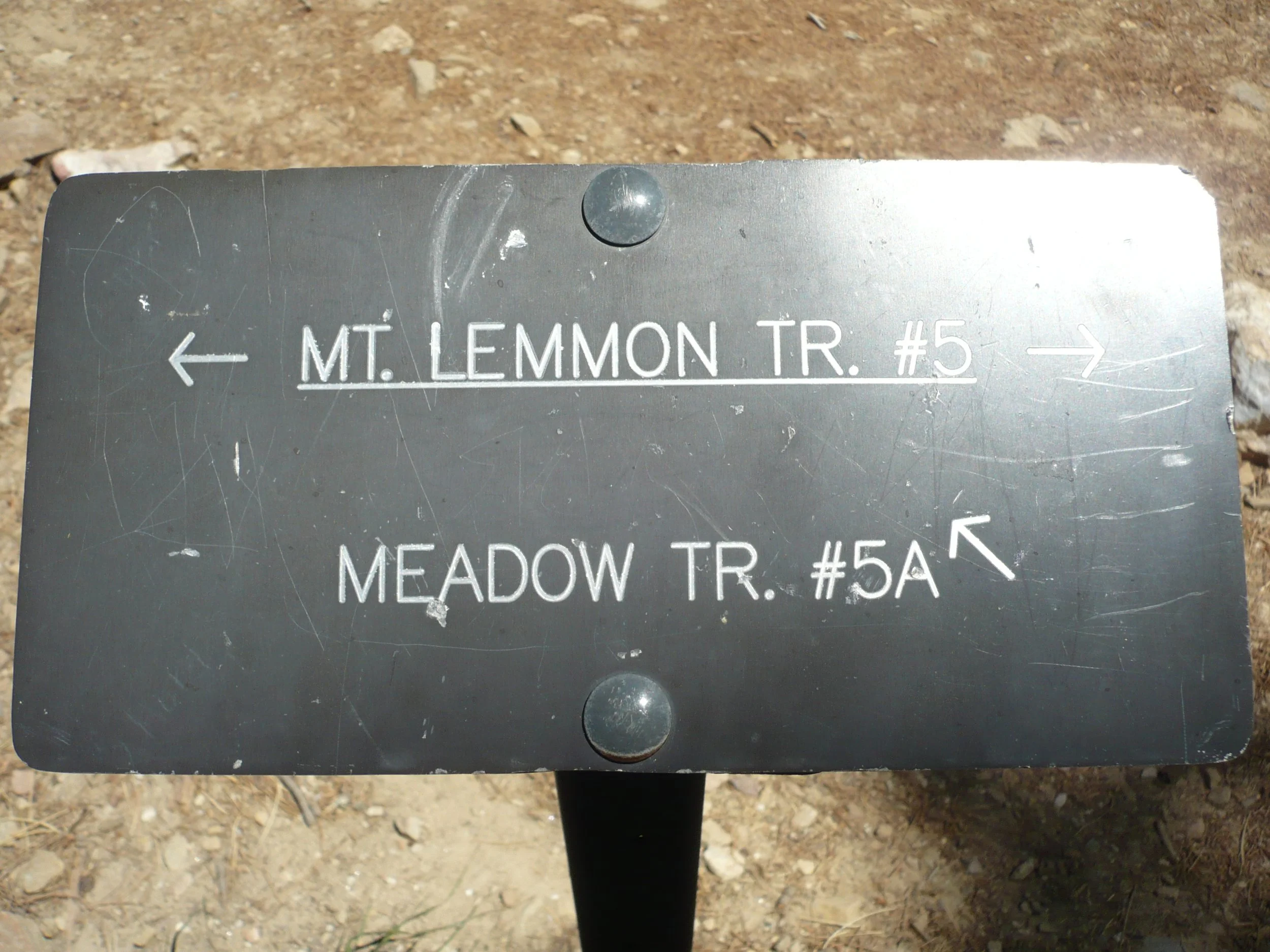
The Mt. Lemmon Trail leaves from the southwest corner of the parking lot. The trailhead sign (top of the page) is hiding in the shade of aspen trees. (Yes, aspens in Arizona!) The trail runs alongside a chain link fence and then crosses a dirt road. Soon you come to a junction of the Mt. Lemmon Trail and the Meadow Trail. Go left here to stay on the Mt. Lemmon Trail.
The trail descends through forest. You’ll come to a tricky junction where you’ll be tempted to continue straight ahead, but the Mt. Lemmon Trail (unmarked) goes to the right. (See photo below.)
Turn right when you get to this junction
Your next landmark will be the Lemmon Rock Lookout Trail.
Continue straight here; do not turn left (unless you want to make a short side trip to see the little cabin where Forest Service staff used to watch for wildfires).
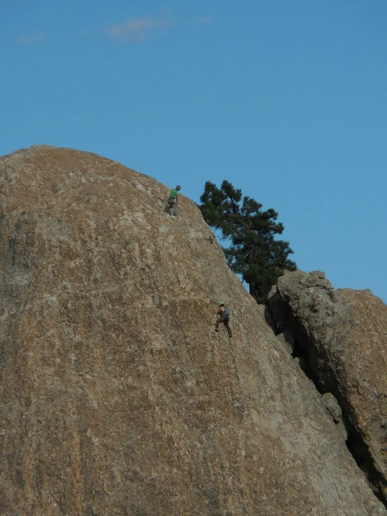
Continuing west along the ridgetop, you have fantastic views of Tucson in the distance and enormous climbing rocks below.
The upper Mt. Lemmon Trail ends at a junction where the Sutherland Trail goes north. Here you can wander south through the woods to a view point where you can see Cathedral Rock, the back side of The Window above Ventana Canyon, and Baboquivari in the distance. [For a closer picture of The Window, see our Sutherland Trail webpage.]
Upper Mt. Lemmon Trail in Pictures…
Looking back at Lemmon Rock Lookout; white dot on the right is Mt. Bigelow Observatory
Winding road along the ridgetop
The Ravens climbing rocks
Climbing The Fortress in the twilight
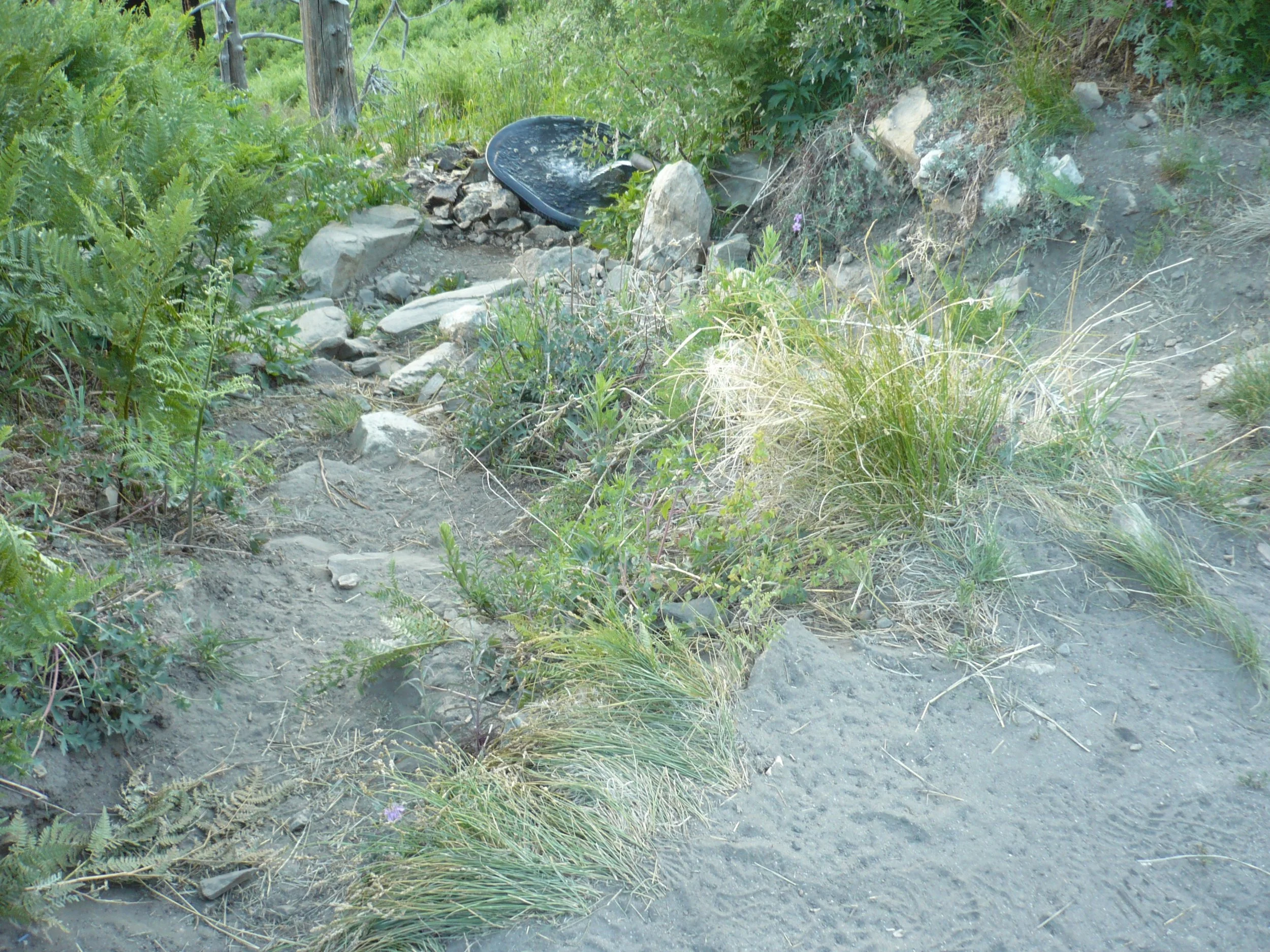
Springwater below a locked shed
View of Cathedral Rock, The Window & Baboquivari


